

Cooling the community

We're collaborating with local councils around South Australia to help maintain cool, green open spaces that build healthy communities.
Leading this initiative is the smart irrigation system, which takes and transmits real time data from soil moisture probes, daily weather forecasts and SA Water smart meter data.
We put this data through a sophisticated algorithm to provide an irrigation schedule that tracks past and predicted rainfall, as well as soil moisture, to determine the most optimal times to irrigate.
Well-irrigated spaces are cooler than non-irrigated spaces and this same approach can be applied in your own backyard. See our handy tips here.
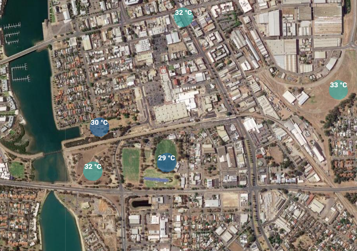
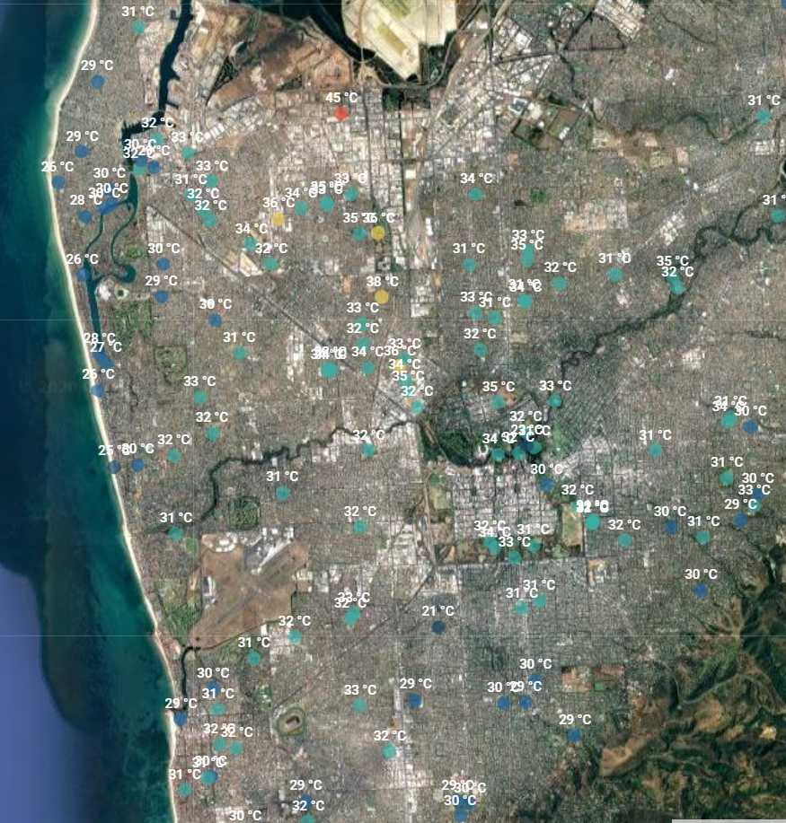
Why some areas are cooler than others
Some of the parks on the maps are irrigated more than others and that’s why you may notice temperature differences. In fact, dry ground can be just as hot as bitumen and fake grass can be even hotter. Parks that are watered regularly reduce the temperature of the local area. Your local council provides open spaces for you to enjoy and this map shows the benefits in relation to air temperature.
Tips and feedback
Do you know a local park not currently shown on the map? Contact us to tell us which one and we’ll look into it for you.
Find a drinking fountain with our BYOB app
With the BYOB app you can search for nearby drinking fountains and bottle filling stations anywhere.