

To prepare for your visit, please check the conditions of access.
 Fishing
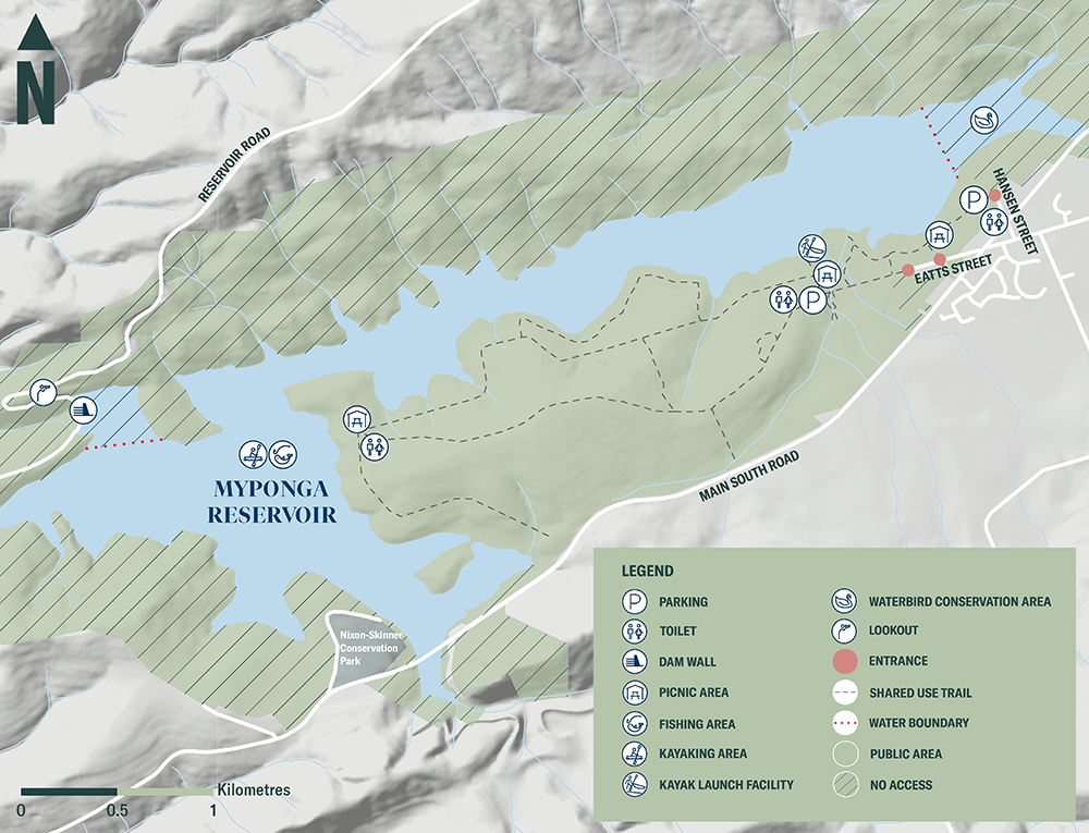
With a fishing permit, you can drop a line in the from the shoreline in the reserve's public area or on the water from a canoe or kayak.
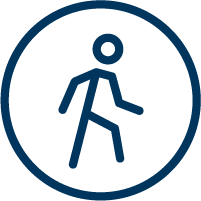 Walking/running/hiking
Explore Myponga’s 10.5km of unsealed trails, suitable for walking, running and hiking.
The 3.3km south-eastern loop track takes you through open plains, forested areas and native vegetation. The easy, unsealed trail is suitable for families with children, and for walking and running.
The 3km western loop is a Grade 3 trail, suitable for people with moderate fitness levels, and bushwalking experience is recommended as it has short steep sections and uneven surfaces.

Navigate the reserve with the free Avenza app
Download the Myponga Reservoir Reserve map
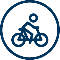 Cycling/mountain biking
Myponga offers mountain bike experiences for people of all ages with varying skill levels. Beginners should head to the south-eastern side of the reservoir reserve, while the western trails offer downhill thrills and challenging hills for more experienced riders.
The unsealed trail network at Myponga is shared by both cyclists and walkers. Please be considerate of other trail users.
Navigate the reserve with the free Avenza app
Download the Myponga Reservoir Reserve map
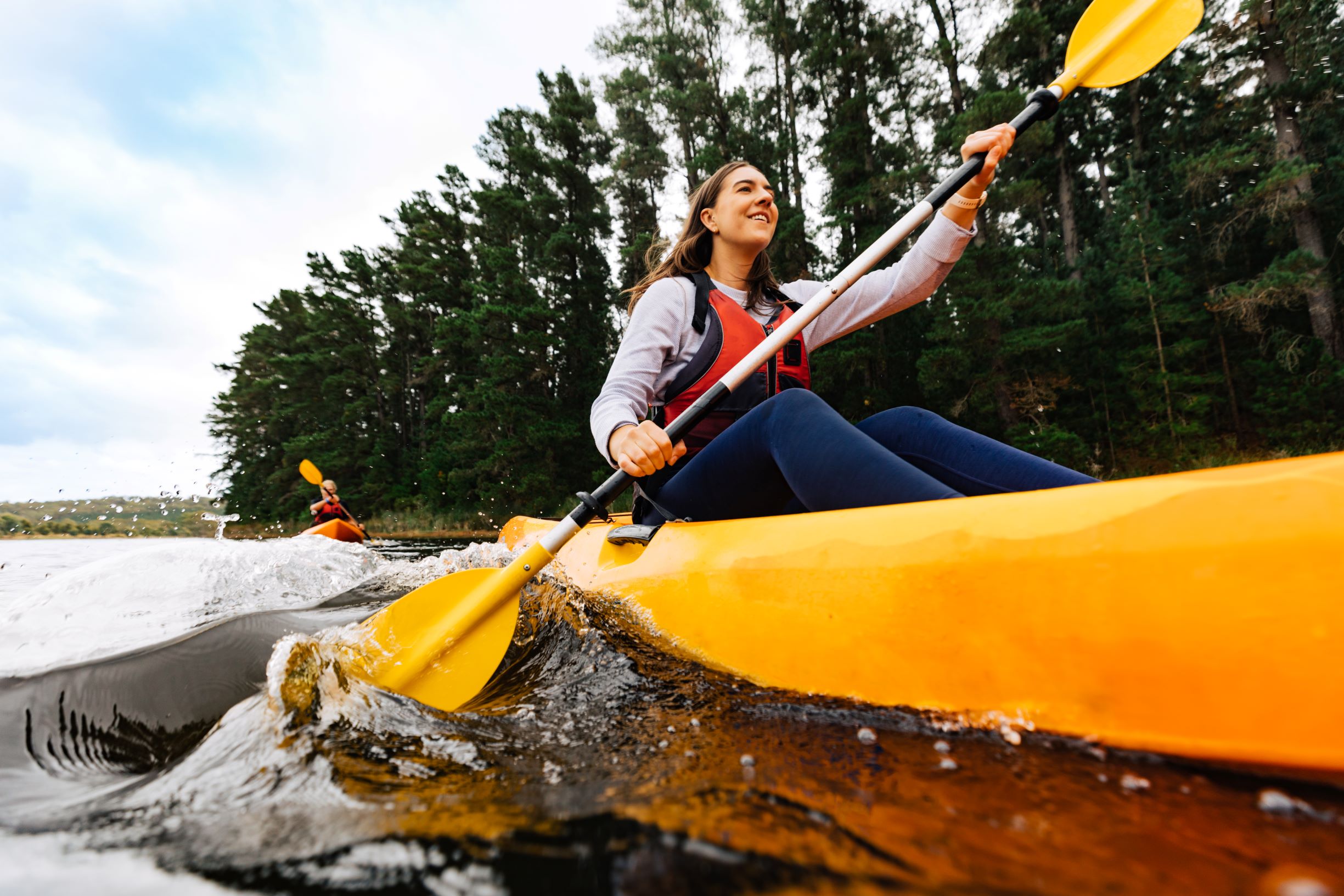
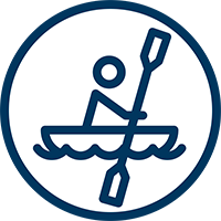 Kayaking/canoeing
Choose your experience with a kayak or canoe, from a short meander to a full day's kayaking adventure exploring the 250 hectares of water surrounded by stunning landscapes. There is an all-accessibility kayak facility located at Pink Gum Hub. The facility is approximately 180m from the carpark. Please note, there is no storage for wheelchairs on or near the launch facility.
During the warmer months when the reservoir's level can be low, bring a trolley to get your kayak or canoe to the water's edge more easily.
 Picnicking
There are several picnic tables along the trail and of course you’re welcome to pack a picnic basket complete with a blanket or chairs so you can sit back, relax and enjoy the view.
 Lookout
The lookout above the Myponga dam wall on the western side of the reservoir is the prime stop for a stunning view of the reservoir, the dam wall and its spillway. When the reservoir levels are low enough, you can follow the Heron Loop out to a deck lookout at the water’s edge.
 Wildlife and birdwatching
Take some time and see if you can spot some of the special species that call Myponga home. More than 120 bird species live in the area including some that enjoy life by the water and others that can be found inland. Myponga Reservoir is home to an abundance of kangaroos. You can also watch for native animals, lizards and listen for frogs. Please keep your distance from wildlife: do not feed, disturb, or remove native flora and fauna.
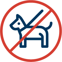
![]() Dogs are not welcome at reservoir reserves as they can carry harmful organisms that can easily contaminate the water and present a risk to the safety of the drinking water. Dogs also pose a threat to local native birds and wildlife. Assistance animals are accepted.
Dogs are not welcome at reservoir reserves as they can carry harmful organisms that can easily contaminate the water and present a risk to the safety of the drinking water. Dogs also pose a threat to local native birds and wildlife. Assistance animals are accepted.
Free offline maps
Use the free Avenza app to navigate around the reservoir reserve, record your GPS tracks or enjoy other features. Download the map to your mobile device and you can access it even without mobile coverage.
Download the Myponga Avenza map here.
Click map below for a print-friendly version.